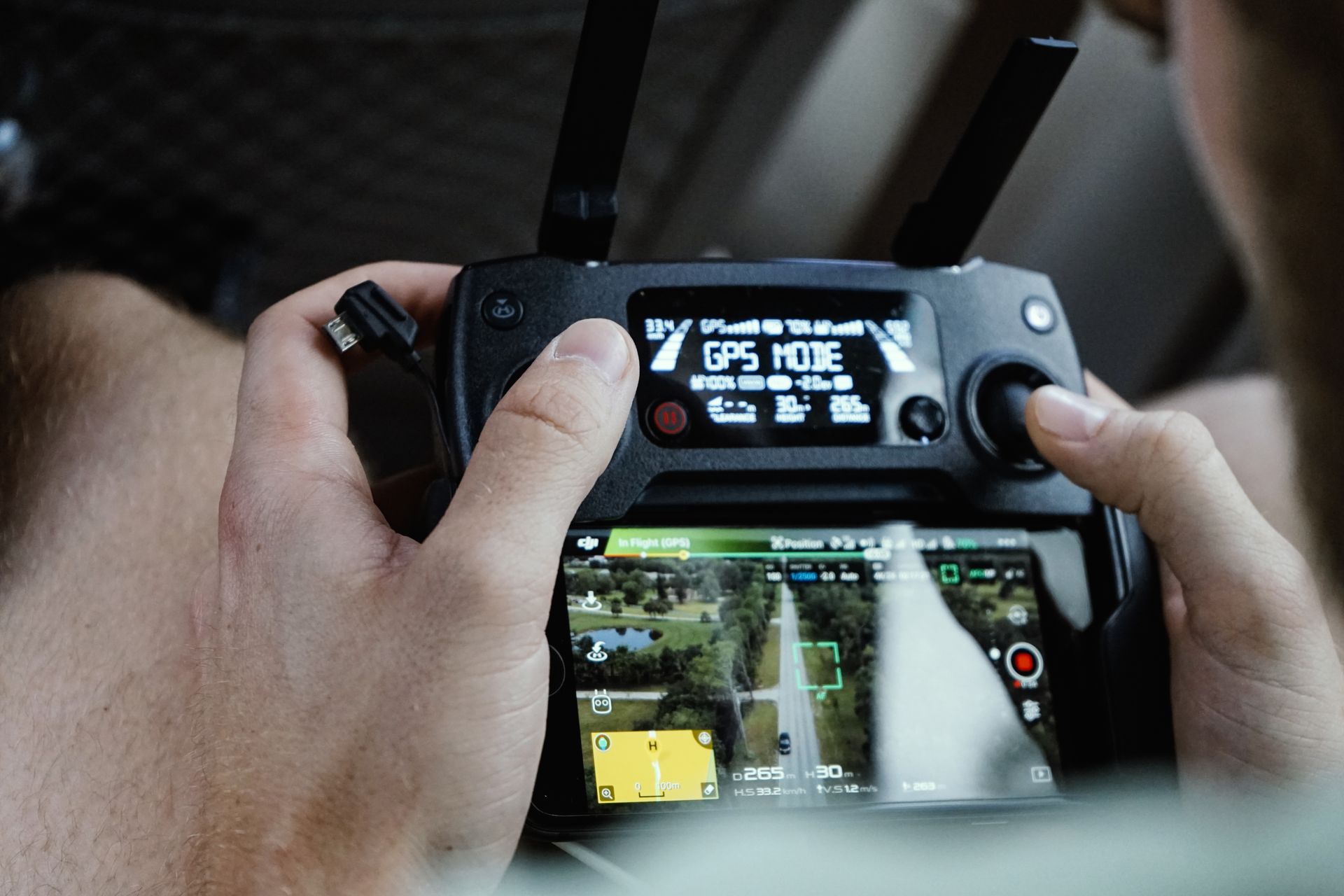
Satellites revisit weekly at meter resolution. Field crews walk transects for days. Drones sit in the sweet spot between: centimeter detail, on-demand timing, and zero boots trampling the habitat being studied.
SEASONAL SURVEYS WITHOUT A FOOTPRINT
Wetlands, nesting grounds, and restoration sites can't absorb repeated foot traffic — the monitoring itself degrades the data. Programmed flight lines revisit the exact same transects each season from 60 meters up, while multispectral sensors track vegetation vigor, water extent, and erosion invisible to the eye.
Because flights are cheap and fast, researchers sample after storms, during migration windows, and across phenology stages — timing satellites and budgets rarely allow.
DATA REGULATORS AND FUNDERS TRUST
Mitigation banks, restoration grants, and compliance permits all demand proof: acres restored, canopy gained, shoreline held. Georeferenced orthomosaics with accuracy statements give agencies auditable evidence instead of anecdote.
"Their wetland survey gave our researchers seasonal imagery no satellite could match. Permits, pilots, and data handling were all covered." — Dr. Lena C. Vogt, Research Lead
WILDLIFE-SAFE BY DESIGN
We plan around wildlife: altitude floors over sensitive areas, seasonal blackout windows, quiet propeller profiles, and coordination with site ecologists before every launch. The goal is observation without disturbance — verified by the fact that our study sites keep inviting us back.
- Fly the same transects each visit so datasets stay directly comparable.
- Add multispectral payloads when plant health, not just cover, is the question.
- Archive everything — five-year baselines are built one flight at a time.


