ROOF & FACADE SCANS
Sub-centimeter imagery of every surface, including parapets, penetrations, and gutters.
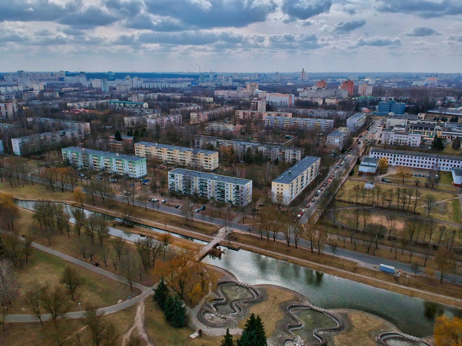
Our inspection crews fly high-resolution and thermal payloads inches from roofs, facades, chimneys, towers, and solar arrays. The aircraft holds position in wind while the sensor captures cracks, ponding, failed flashing, and hot cells your ground crew can't reach safely.
Within 48 hours you receive an annotated report: every finding pinned to a photo, ranked by urgency, with repair recommendations your contractor can price directly. No scaffolding, no rope access, no guesswork.

Sub-centimeter imagery of every surface, including parapets, penetrations, and gutters.
Radiometric heat maps that reveal moisture, insulation gaps, and failing cells.
Findings ranked critical / watch / monitor, each pinned to GPS-tagged photos.
Cell, transmission, and water-tower inspections with standoff-safe flight plans.
Report in your inbox two business days after wheels-up, rush same-day on request.
Flight logs, airspace authorizations, and insurance certificates for your records.
01
Send drawings or an address; we define flight lines, sensors, and safety zones.
02
A two-person crew completes the grid in hours — your site keeps operating.
03
Certified thermographers and inspectors review every frame for defects.
04
Ranked findings your contractor can price, plus a re-fly to verify fixes.

